
Coadan:Finistere department relief location map.jpg
Size of this preview: 639 × 599 pixels. Other resolutions: 256 × 240 pixels | 512 × 480 pixels | 819 × 768 pixels | 1,140 × 1,069 pixels.
Jeeskeaylley ymlane (1,140 × 1,069 pixelyn, mooadys y choadan: 291 KB, sorçh MIME: image/jpeg)
Giare-choontey
| Camera location | | View this and other nearby images on: OpenStreetMap |
|---|
| Coontey |
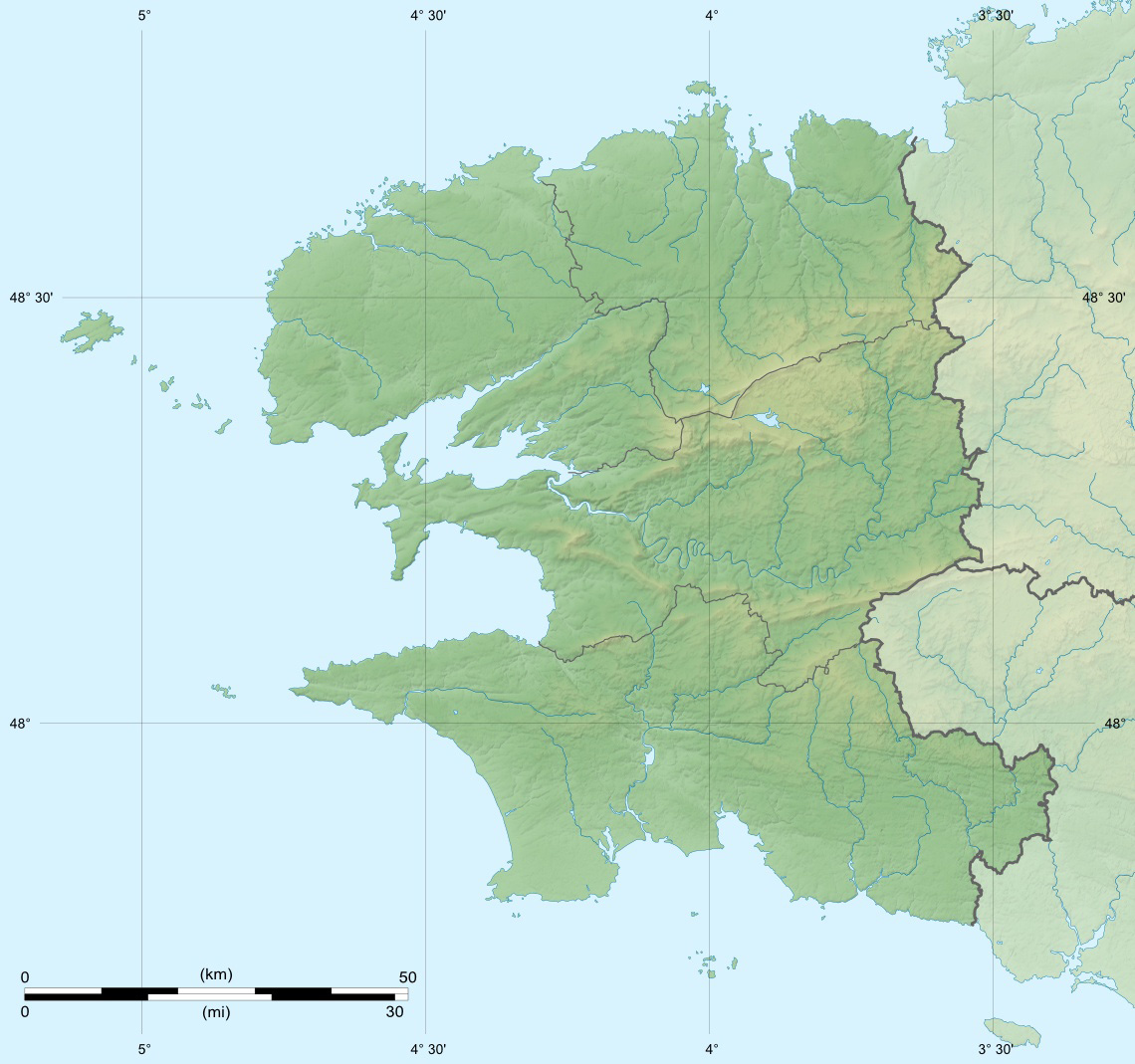
English: Blank physical map of the department of Finistère, France, for geo-location purpose, with distinct boundaries for departments and arrondissements.
Français : Carte physique vierge du département du Finistère, France, destinée à la géolocalisation, avec limite distincte des départements et arrondissements. Scales: 1:520,000 (precision: 130 m) for the topography; 1:7,480,000 (precision: 1,870 m) for the bathymetry
Geographic limits of the map:
|
||
| Date | |||
| Bun |
Own work
|
||
| Author | Eric Gaba (Sting - fr:Sting) | ||
| Permission (Reusing this file) |
|
||
| Other versions |
|

Kieddagh:
I, the copyright holder of this work, hereby publish it under the following licenses:
This file is licensed under the Creative Commons Attribution-Share Alike 3.0 Unported license.
- You are free:
- to share – to copy, distribute and transmit the work
- to remix – to adapt the work
- Under the following conditions:
- attribution – You must give appropriate credit, provide a link to the license, and indicate if changes were made. You may do so in any reasonable manner, but not in any way that suggests the licensor endorses you or your use.
- share alike – If you remix, transform, or build upon the material, you must distribute your contributions under the same or compatible license as the original.

|
Permission is granted to copy, distribute and/or modify this document under the terms of the GNU Free Documentation License, Version 1.2 or any later version published by the Free Software Foundation; with no Invariant Sections, no Front-Cover Texts, and no Back-Cover Texts. A copy of the license is included in the section entitled GNU Free Documentation License. |
You may select the license of your choice.
Shennaghys y choadan
Crig er daayt/am ennagh son fakin er y choadan myr v’eh ec y traa shen.
| Daayt/Am | Ingin-ordaag | Towshanyn | Ymmydeyr | Cohaggloo | |
|---|---|---|---|---|---|
| bio | 22:37, 17 Jerrey Souree 2010 | | 1,140 × 1,069 (291 KB) | Sting | Color profile |
| 20:20, 8 Luanistyn 2008 |  | 1,140 × 1,069 (259 KB) | Sting | == Summary == {{Location|48|13|30|N|04|15|00|W|scale:1000000}} <br/> {{Information |Description={{en|Blank physical map of the department of Finistère, France, for geo-location purpose, with distinct boundaries for departments and arro |
Ymmyd y choadan
Ta ny 1 duillag eiyrtyssagh kianglt rish y choadan shoh:
Global file usage
The following other wikis use this file:
- Usage on als.wikipedia.org
- Usage on ar.wikipedia.org
- Usage on br.wikipedia.org
- Usage on ceb.wikipedia.org
- Usage on cy.wikipedia.org
- Usage on de.wikipedia.org
- Baie des Trépassés
- Roc’h Trévezel
- Wikipedia Diskussion:WikiProjekt Französische Gemeinden/Archiv/2008
- Wikipedia:Kartenwerkstatt/Positionskarten/Europa
- Île Carn
- Île Guennoc
- Vorlage:Positionskarte Frankreich Finistère
- Vorlage Diskussion:Infobox Gemeinde in Frankreich/Archiv/2008
- Meerenge von Brest
- Wikipedia Diskussion:WikiProjekt Georeferenzierung/Archiv/2010-I
- Burg Trémazan
- Roc’h Ruz
- Ménez-Hom
- Île Melon
- Île Tariec
- Sender Quimerch
- Pointe de Corsen
- Île Callot
- Île Tristan
- Dolmen von Tronval
- Îlot des Capucins
- Île Vierge
- Les Rospects
- Les Étocs
- Anse de Camaret
- Raz de Sein
- Usage on el.wikipedia.org
- Usage on en.wikipedia.org
- Usage on eo.wikipedia.org
View more global usage of this file.