
Coadan:Georgia location map.svg

Size of this PNG preview of this SVG file: 800 × 426 pixels. Other resolutions: 320 × 170 pixels | 640 × 341 pixels | 1,024 × 545 pixels | 1,280 × 681 pixels | 2,560 × 1,363 pixels | 1,715 × 913 pixels.
Jeeskeaylley ymlane (coadan SVG, 1,715 × 913 pixelyn dy ennymagh, mooadys y choadan: 141 KB)
Giare-choontey
| Coontey |
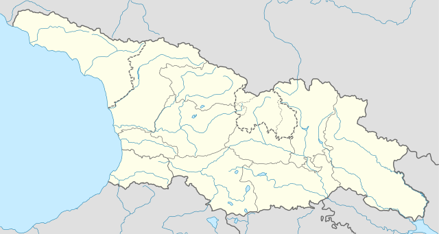
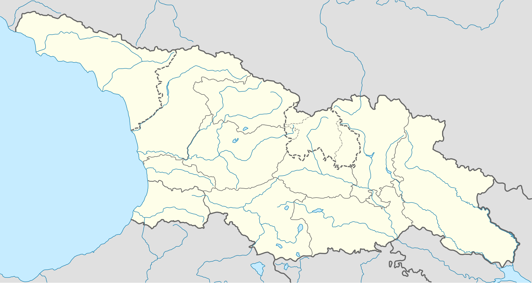
Deutsch: Positionskarte von Georgien
Quadratische Plattkarte, N-S-Streckung 135 %. Geographische Begrenzung der Karte:
English: Location map of Georgia
Equirectangular projection, N/S stretching 135 %. Geographic limits of the map:
|
| Date | |
| Bun |
Own work, using
|
| Author | NordNordWest |
| Permission (Reusing this file) |
I, the copyright holder of this work, hereby publish it under the following license: This file is licensed under the Creative Commons Attribution-Share Alike 3.0 Unported license.
|
| Other versions |
|


Shennaghys y choadan
Crig er daayt/am ennagh son fakin er y choadan myr v’eh ec y traa shen.
| Daayt/Am | Ingin-ordaag | Towshanyn | Ymmydeyr | Cohaggloo | |
|---|---|---|---|---|---|
| bio | 10:13, 28 Jerrey Fouyir 2018 | | 1,715 × 913 (141 KB) | NordNordWest | Reverted to version as of 11:58, 25 May 2013 (UTC), COM:OVERWRITE |
| 09:14, 28 Jerrey Fouyir 2018 |  | 1,715 × 913 (147 KB) | Lamensi | De facto independence | |
| 11:58, 25 Boaldyn 2013 |  | 1,715 × 913 (141 KB) | NordNordWest | Reverted to version as of 16:47, 24 July 2011, COM:OVERWRITE, too important to change without discussion | |
| 11:58, 25 Boaldyn 2013 |  | 1,715 × 913 (141 KB) | NordNordWest | Reverted to version as of 16:47, 24 July 2011, COM:OVERWRITE, too important to change without discussion | |
| 22:49, 24 Boaldyn 2013 |  | 1,715 × 913 (149 KB) | Giorgi Balakhadze | South Ossetian Autonomous Region was revoked on December 10, 1990 by the Supreme Soviet of the Georgian SSR. So it's not correct to show it in modern maps. [http://en.wikipedia.org/wiki/South_Ossetian_Autonomous_Oblast] | |
| 16:47, 24 Jerrey Souree 2011 |  | 1,715 × 913 (141 KB) | NordNordWest | corr | |
| 08:31, 10 Mean Fouyir 2009 |  | 1,716 × 913 (270 KB) | NordNordWest | ||
| 20:46, 9 Mean Fouyir 2009 |  | 1,716 × 879 (271 KB) | NordNordWest | =={{int:filedesc}}== {{Information |Description= {{de|Positionskarte von Georgien}} Quadratische Plattkarte, N-S-Streckung 130 %. Geographische Begrenzung der Karte: * N: 43.7° N * S: 40.9° N * W: 39.8° O * O: 46.9° O {{en|Location ma |
Ymmyd y choadan
Ta ny 1 duillag eiyrtyssagh kianglt rish y choadan shoh:
Global file usage
The following other wikis use this file:
- Usage on af.wikipedia.org
- Usage on an.wikipedia.org
- Usage on ast.wikipedia.org
- Usage on av.wikipedia.org
- Usage on azb.wikipedia.org
- Usage on az.wikipedia.org
- Qaqra
- Tbilisi
- Faxralı
- Dmanisi
- Kəpənəkçi (Bolnisi)
- Sadaxlı
- Kəpənəkçi (Sarvan)
- Saraçlı (Borçalı)
- Qızılhacılı (Marneuli)
- İmirhəsən
- Yırğançay
- Qoçulu (Borçalı)
- Aşağı Qarabulaq
- Yuxarı Qarabulaq
- Arıxlı
- Rustavi
- Səfərli (Başkeçid)
- Aşağı Oruzman
- Soğanlıq
- Marabda
- Söyüdlü (Başkeçid)
- Qaracalar (Qarayazı)
- Salamməlik
- Saqareco
- Məmişlər (Başkeçid)
- Tbilisi Azərbaycan Teatrı
- Təkəli (Marneuli)
- Ağaməmmədli (Marneuli)
View more global usage of this file.