
Coadan:Highland UK location map.svg

Size of this PNG preview of this SVG file: 556 × 600 pixels. Other resolutions: 222 × 240 pixels | 445 × 480 pixels | 712 × 768 pixels | 949 × 1,024 pixels | 1,898 × 2,048 pixels | 1,320 × 1,424 pixels.
Jeeskeaylley ymlane (coadan SVG, 1,320 × 1,424 pixelyn dy ennymagh, mooadys y choadan: 5.26 MB)
| Coontey |
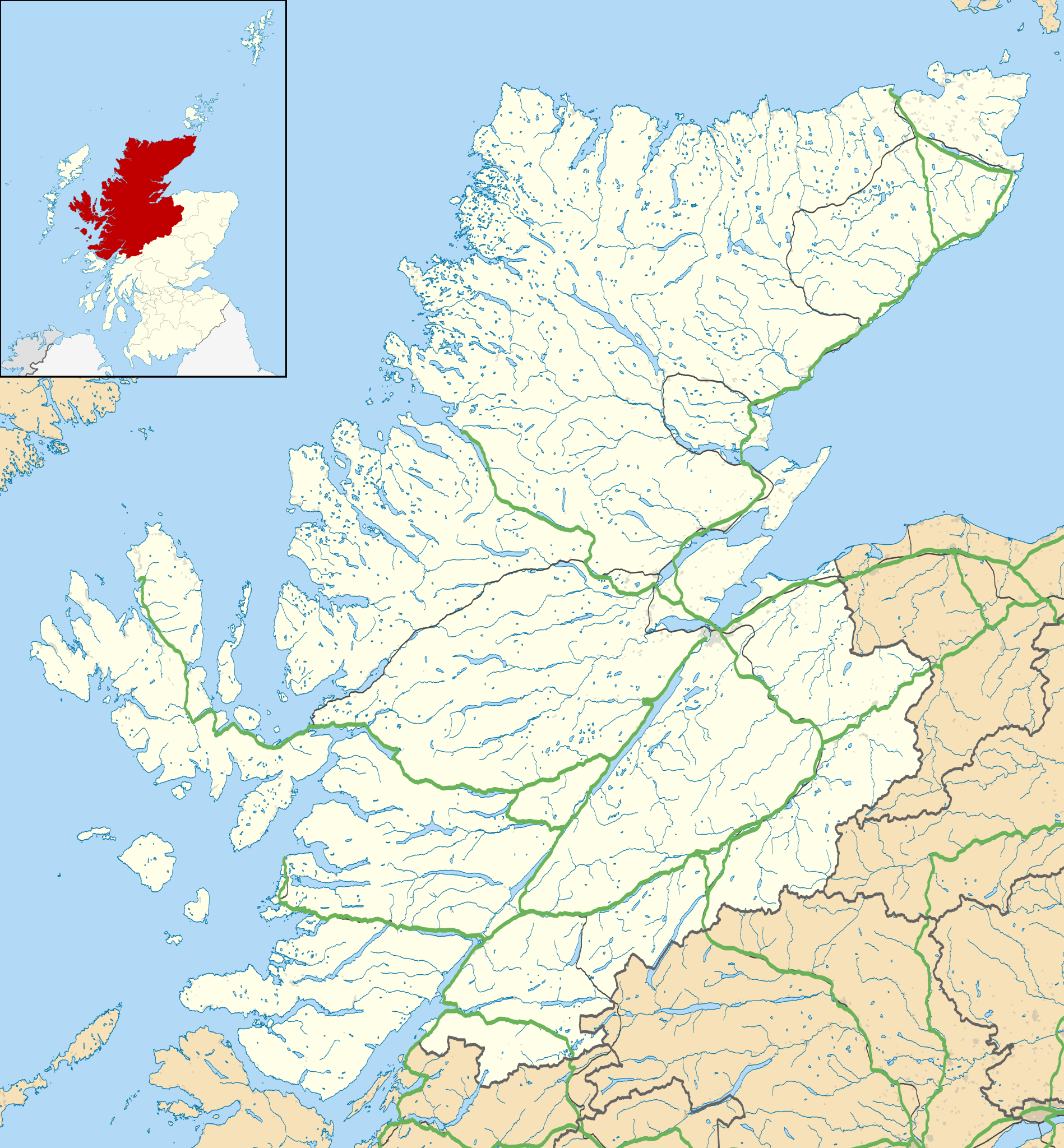
Blank map of Highland, UK with the following information shown:
Equirectangular map projection on WGS 84 datum, with N/S stretched 180% Geographic limits:
|
| Date | |
| Bun |
|
| Author | Nilfanion, created using Ordnance Survey data |
| Permission (Reusing this file) |
This file is licensed under the Creative Commons Attribution-Share Alike 3.0 Unported license. Attribution: Contains Ordnance Survey data © Crown copyright and database right
|
| Other versions | File:Highland UK blank map.svg - Blank map |
Shennaghys y choadan
Crig er daayt/am ennagh son fakin er y choadan myr v’eh ec y traa shen.
| Daayt/Am | Ingin-ordaag | Towshanyn | Ymmydeyr | Cohaggloo | |
|---|---|---|---|---|---|
| bio | 20:20, 26 Mean Fouyir 2010 | | 1,320 × 1,424 (5.26 MB) | Nilfanion | {{Information |Description=Blank map of Highland, UK with the following information shown: *Administrative borders *Coastline, lakes and rivers *Roads and railways *Urban areas Equirectangular map projection on WGS 84 datum, |
Ymmyd y choadan
Ta ny 5 duillagyn eiyrtyssagh kianglt rish y choadan shoh:
Global file usage
The following other wikis use this file:
- Usage on ar.wikipedia.org
- Usage on arz.wikipedia.org
- Usage on ba.wikipedia.org
- Usage on bg.wikipedia.org
- Usage on ceb.wikipedia.org
- Usage on de.wikipedia.org
- Kernkraftwerk Dounreay
- Skye Bridge
- Caledonian Stadium
- Neist Point
- Victoria Park (Dingwall)
- Loch Eriboll
- Tarbat Ness Lighthouse
- Ardnamurchan Lighthouse
- Sandwood Bay
- Vorlage:Positionskarte Schottland Highland
- Flughafen Inverness
- Culloden Viaduct
- Fearn Airfield
- Bone Caves
- Wick Airport
- Flugplatz Broadford
- Flugplatz Plockton
- Affric-Beauly-Kraftwerke
- Cromarty Lighthouse
- Leuchtturm Dunnet Head
- Telford Street Park
- Chanonry Lighthouse
- Noss Head Lighthouse
- Cape Wrath Lighthouse
- Usage on en.wikipedia.org
View more global usage of this file.