
Coadan:Iceland-globe-map.jpg
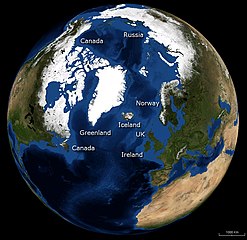
Size of this preview: 617 × 599 pixels. Other resolutions: 247 × 240 pixels | 494 × 480 pixels | 969 × 941 pixels.
Jeeskeaylley ymlane (969 × 941 pixel, mooadys y choadan: 179 KB, sorçh MIME: image/jpeg)
| Coontey |
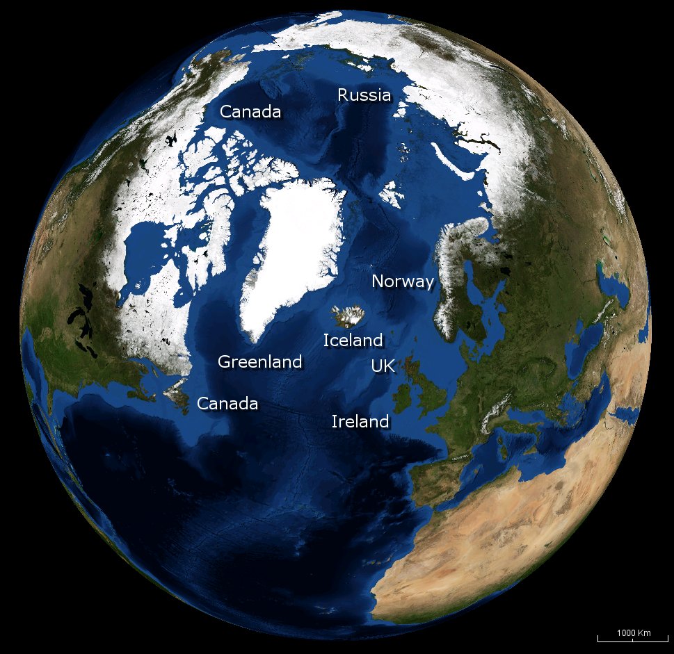
English: Image of the Earth with Iceland in the centre, with nearby countries labelled. |
|||
| Date | ||||
| Bun | NASA | |||
| Author | Andrew Oakley | |||
| Permission (Reusing this file) |
|

Shennaghys y choadan
Crig er daayt/am ennagh son fakin er y choadan myr v’eh ec y traa shen.
| Daayt/Am | Ingin-ordaag | Towshanyn | Ymmydeyr | Cohaggloo | |
|---|---|---|---|---|---|
| bio | 11:50, 13 Jerrey Fouyir 2008 | | 969 × 941 (179 KB) | Evilandi | {{Information |Description={{en|1=Image of the Earth with Iceland in the centre, with nearby countries labelled.}} |Source=NASA |Author=Andrew Oakley |Date=2008-10-13 |Permission={{PD-WorldWind}} |other_versions= }} <!--{{ImageUpload|full}}--> |
Ymmyd y choadan
Ta ny 1 duillag eiyrtyssagh kianglt rish y choadan shoh:
Global file usage
The following other wikis use this file:
- Usage on en.wikipedia.org