
Coadan:LocationAfrica.png
Size of this preview: 800 × 407 pixels. Other resolutions: 320 × 163 pixels | 640 × 326 pixels | 1,024 × 521 pixels | 1,280 × 651 pixels | 2,759 × 1,404 pixels.
Jeeskeaylley ymlane (2,759 × 1,404 pixelyn, mooadys y choadan: 99 KB, sorçh MIME: image/png)

|
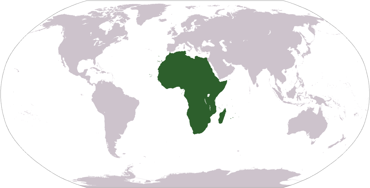
File:Location of Africa.svg is a vector version of this file. It should be used in place of this PNG file when not inferior.
File:LocationAfrica.png → File:Location of Africa.svg
For more information, see Help:SVG. |
 |
Giare-choontey
| Coontey |
Deutsch: Weltkarte mit Fokus auf Afrika
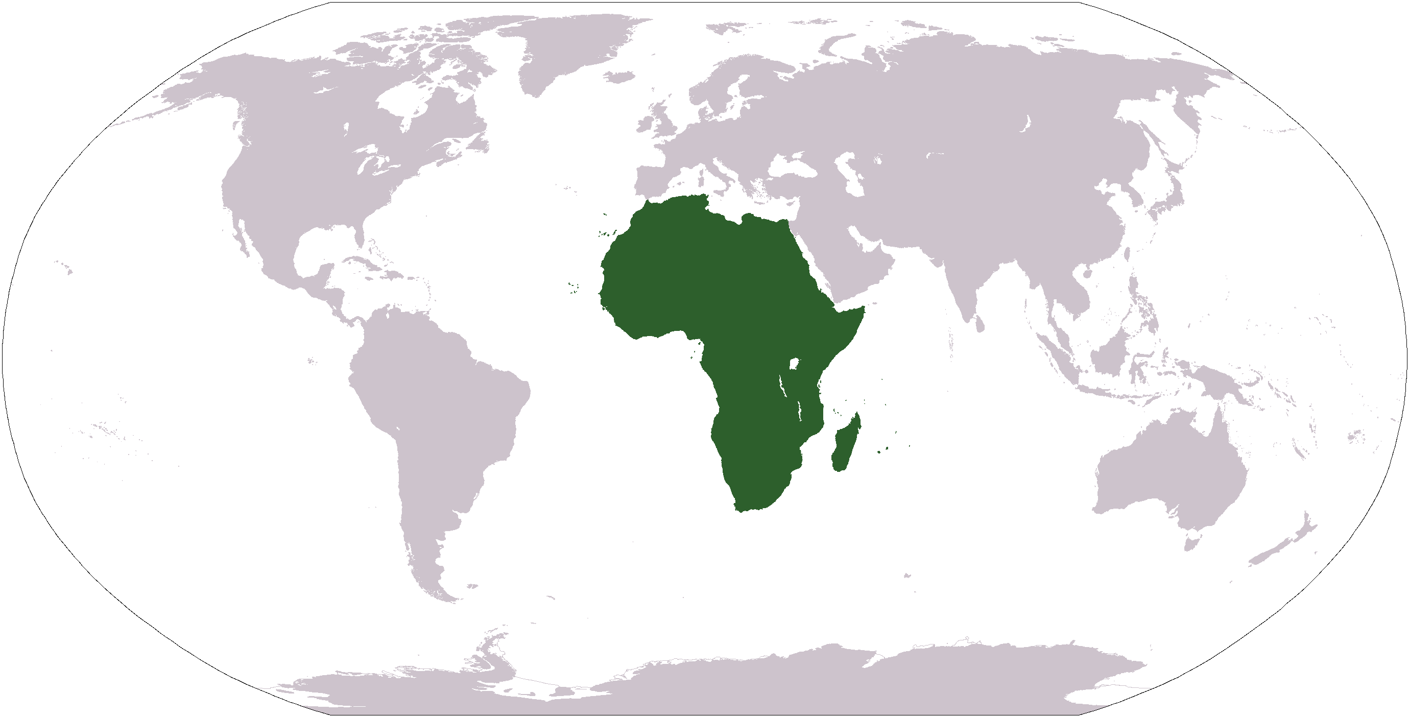
English: World map depicting Africa
Esperanto: Mondmapo bildiganta Afrikon
Español: Ubicación de África |
| Bun | map adapted from PDF world map at CIA World Fact Book |
| Author | see above |
| Other versions | Derivative works of this file: Wikinews Afryka mapa.png |
Kieddagh:
This image is in the public domain because it contains materials that originally came from the United States Central Intelligence Agency's World Factbook.
|
 |
Shennaghys y choadan
Crig er daayt/am ennagh son fakin er y choadan myr v’eh ec y traa shen.
| Daayt/Am | Ingin-ordaag | Towshanyn | Ymmydeyr | Cohaggloo | |
|---|---|---|---|---|---|
| bio | 12:34, 19 Jerrey Geuree 2008 | | 2,759 × 1,404 (99 KB) | F l a n k e r | Transparency |
| 05:15, 22 Jerrey Geuree 2006 |  | 2,759 × 1,404 (55 KB) | E Pluribus Anthony~commonswiki | Reverted to earlier revision | |
| 22:46, 15 Jerrey Geuree 2006 |  | 2,759 × 1,404 (84 KB) | Huhsunqu | ||
| 19:25, 3 Mee Houney 2005 |  | 2,759 × 1,404 (55 KB) | E Pluribus Anthony~commonswiki | World map: Africa (location) | |
| 01:16, 8 Jerrey Fouyir 2005 |  | 2,759 × 1,404 (55 KB) | E Pluribus Anthony~commonswiki | World map: Africa (location) | |
| 15:54, 29 Averil 2005 |  | 250 × 116 (11 KB) | Rex | Eerdere versie hersteld | |
| 15:20, 29 Averil 2005 |  | 1,381 × 703 (16 KB) | Ghalas | Corrected version {{PD-USGov-CIA-WF}} | |
| 15:18, 29 Averil 2005 |  | 1,381 × 703 (16 KB) | Ghalas | Corrected version {{PD-USGov-CIA-WF}} | |
| 15:06, 29 Averil 2005 |  | 1,377 × 699 (16 KB) | Ghalas | Extracted from CIA World Factbook PDF world map, then rasterized and colored. {{PD-USGov-CIA-WF}} | |
| 06:39, 9 Jerrey Geuree 2005 |  | 250 × 116 (11 KB) | Tobias Conradi~commonswiki | from en:User:Morwen {{GFDL}} |
Ymmyd y choadan
Ta ny 1 duillag eiyrtyssagh kianglt rish y choadan shoh:
Global file usage
The following other wikis use this file:
- Usage on am.wikipedia.org
- Usage on ang.wikipedia.org
- Usage on arc.wikipedia.org
- Usage on ar.wikipedia.org
- البحر الأبيض المتوسط
- آسيا
- أوروبا
- قارة
- المحيط الهندي
- المحيط الهادئ
- القارة القطبية الجنوبية
- أوقيانوسيا
- أمريكا الشمالية
- أمريكا الجنوبية
- أوروبا الشرقية
- القطب الشمالي
- أوروبا الوسطى
- أوروبا الشمالية
- القوقاز
- شمال إفريقيا
- بوابة:مصر
- بحر
- المنطقة القطبية الجنوبية
- المحيط المتجمد الشمالي
- القرن الإفريقي
- غرب آسيا
- آسيا الوسطى
- جنوب آسيا
- شرق آسيا
- جنوب شرق آسيا
- المحيط الجنوبي
- الكاريبي
View more global usage of this file.