
Coadan:Map of USA FL.svg

Size of this PNG preview of this SVG file: 286 × 186 pixels. Other resolutions: 320 × 208 pixels | 640 × 416 pixels | 1,024 × 666 pixels | 1,280 × 832 pixels | 2,560 × 1,665 pixels.
Jeeskeaylley ymlane (coadan SVG, 286 × 186 pixelyn dy ennymagh, mooadys y choadan: 167 KB)
Clickable version
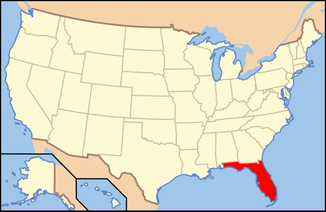
| Coontey | Map of USA with Florida highlighted | ||||||||
| Date | see file history below. | ||||||||
| Bun | Own work (Original text: own work by uploader, based on Image:Map of USA without state names.svg) | ||||||||
| Author |
This version: en:User:Huebi Base versions this one is derived from: originally created by en:User:Wapcaplet |
||||||||
| Permission (Reusing this file) |
This file is licensed under the Creative Commons Attribution 2.0 Generic license.
|
||||||||
| Other versions | image:Map of USA with state names.svg | ||||||||
| SVG genesis |

| Annotations | This image is annotated: View the annotations at Commons |
Shennaghys y choadan
Crig er daayt/am ennagh son fakin er y choadan myr v’eh ec y traa shen.
| Daayt/Am | Ingin-ordaag | Towshanyn | Ymmydeyr | Cohaggloo | |
|---|---|---|---|---|---|
| bio | 05:15, 9 Mean Souree 2006 | | 286 × 186 (167 KB) | Huebi~commonswiki | {{Information| |Description=Map of USA with ... highlighted |other_versions=image:Map of USA with state names.svg }} Category:Maps of the United States Category:Maps of ... Category:SVG maps {{GFDL-en}}{{cc-by-2.0}}{{cc-by-sa-1.0}}{{cc- |
Ymmyd y choadan
Ta ny 8 duillagyn eiyrtyssagh kianglt rish y choadan shoh:
Global file usage
The following other wikis use this file:
- Usage on af.wikipedia.org
- Usage on als.wikipedia.org
- Usage on ang.wikipedia.org
- Usage on an.wikipedia.org
- Usage on arz.wikipedia.org
- Usage on ay.wikipedia.org
- Usage on az.wikipedia.org
- Usage on az.wiktionary.org
- Usage on ba.wikipedia.org
- Usage on bcl.wikipedia.org
- Usage on be-tarask.wikipedia.org
- Usage on bg.wikipedia.org
- Алачуа (окръг, Флорида)
- Бей (окръг, Флорида)
- Брадфорд (окръг, Флорида)
- Брауърд
- Калхун (окръг, Флорида)
- Шарлът (окръг, Флорида)
- Ситръс (окръг, Флорида)
- Клей (окръг, Флорида)
- Колумбия (окръг, Флорида)
- Дикси (окръг, Флорида)
- Флаглър (окръг, Флорида)
- Франклин (окръг, Флорида)
- Гадсдън (окръг, Флорида)
- Гилкрайст (окръг, Флорида)
- Глейдс (окръг, Флорида)
- Гълф (окръг, Флорида)
- Хардий (окръг, Флорида)
- Хендри (окръг, Флорида)
- Хернандо (окръг, Флорида)
- Хайландс (окръг, Флорида)
- Хилсбъроу (окръг, Флорида)
- Холмс (окръг, Флорида)
- Индиън Ривър (окръг, Флорида)
- Лафайет (окръг, Флорида)
- Лион (окръг, Флорида)
- Леви (окръг, Флорида)
- Либърти (окръг, Флорида)
- Манъти (окръг, Флорида)
- Мартин (окръг, Флорида)
- Маями-Дейд (окръг, Флорида)
- Насо (окръг, Флорида)
- Окалуса (окръг, Флорида)
- Окичоби (окръг, Флорида)
- Ориндж (окръг, Флорида)
- Палм Бийч (окръг)
- Пинелас (окръг, Флорида)
View more global usage of this file.