
Coadan:Stkildachurch.jpg
Cha nel jeeskeaylley ny smoo ry-gheddyn.
Stkildachurch.jpg (640 × 427 pixelyn, mooadys y choadan: 63 KB, sorçh MIME: image/jpeg)
| Camera location | | View this and other nearby images on: OpenStreetMap |
|---|
| Object location | | View this and other nearby images on: OpenStreetMap |
|---|
Giare-choontey
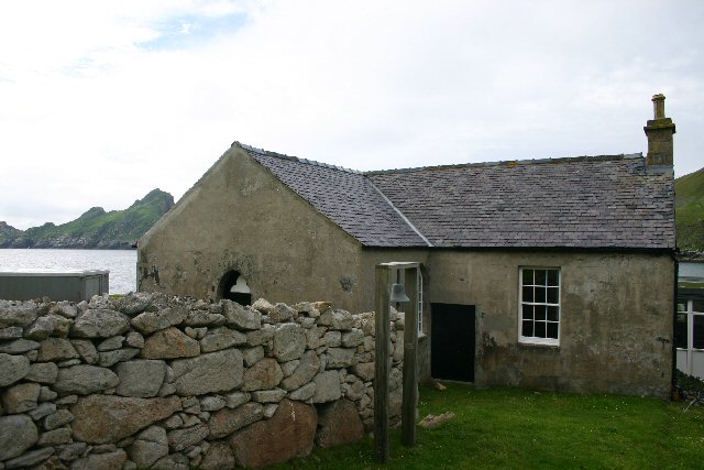
| Coontey | Church and schoolroom, St Kilda. The schoolroom (on the right of the photo) was added to the side of the church in 1884. | ||
| Date | |||
| Bun |
This file is licensed under the Creative Commons Attribution-Share Alike 2.0 Generic license. Attribution: Bob Jones
|
||
| Author | Bob Jones | ||
| Permission (Reusing this file) |
See above. |

_region:GB-GBN_heading:180.00&language=gv)
_region:GB-GBN_heading:180.00&language=gv)
Kieddagh:
This file is licensed under the Creative Commons Attribution-Share Alike 2.0 Generic license.
- You are free:
- to share – to copy, distribute and transmit the work
- to remix – to adapt the work
- Under the following conditions:
- attribution – You must give appropriate credit, provide a link to the license, and indicate if changes were made. You may do so in any reasonable manner, but not in any way that suggests the licensor endorses you or your use.
- share alike – If you remix, transform, or build upon the material, you must distribute your contributions under the same or compatible license as the original.
Shennaghys y choadan
Crig er daayt/am ennagh son fakin er y choadan myr v’eh ec y traa shen.
| Daayt/Am | Ingin-ordaag | Towshanyn | Ymmydeyr | Cohaggloo | |
|---|---|---|---|---|---|
| bio | 18:03, 21 Boaldyn 2007 | | 640 × 427 (63 KB) | MacRusgail | {{Information |Description= Church and schoolroom, St Kilda. The schoolroom (on the right of the photo) was added to the side of the church in 1884. |Source= {{geograph|229581|Bob Jones}} |Date= See image source page. |Author= See above. |Permission= See |
Ymmyd y choadan
Ta ny 1 duillag eiyrtyssagh kianglt rish y choadan shoh:
Global file usage
The following other wikis use this file:
- Usage on br.wikipedia.org
- Usage on de.wikipedia.org
- Usage on el.wikipedia.org
- Usage on en.wikipedia.org
- Usage on fr.wikipedia.org
- Usage on he.wikipedia.org
- Usage on it.wikipedia.org
- Usage on ja.wikipedia.org
- Usage on pl.wikipedia.org
- Usage on ru.wikipedia.org
- Usage on zh.wikipedia.org