
Coadan:Afghanistan location map.svg

Size of this PNG preview of this SVG file: 800 × 589 pixels. Other resolutions: 320 × 236 pixels | 640 × 471 pixels | 1,024 × 754 pixels | 1,280 × 943 pixels | 2,560 × 1,886 pixels | 1,807 × 1,331 pixels.
Jeeskeaylley ymlane (coadan SVG, 1,807 × 1,331 pixel dy ennymagh, mooadys y choadan: 572 KB)
Giare-choontey
| Coontey |
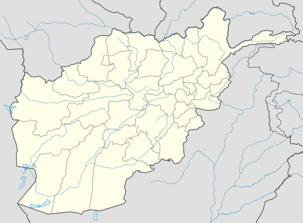
Deutsch: Positionskarte von Afghanistan
Quadratische Plattkarte, N-S-Streckung 115 %. Geographische Begrenzung der Karte:
English: Location map of Afghanistan
Equirectangular projection, N/S stretching 115 %. Geographic limits of the map:
Español: Mapa de Afganistán
Proyección equirectangular, Escala N-S 115 %. Límites geogáficos:
|
| Date | |
| Bun |
own work, using
|
| Author | NordNordWest |

|
This map has been made or improved in the German Kartenwerkstatt (Map Lab). You can propose maps to improve as well.
|
Kieddagh:
I, the copyright holder of this work, hereby publish it under the following licenses:

|
Permission is granted to copy, distribute and/or modify this document under the terms of the GNU Free Documentation License, Version 1.2 or any later version published by the Free Software Foundation; with no Invariant Sections, no Front-Cover Texts, and no Back-Cover Texts. A copy of the license is included in the section entitled GNU Free Documentation License. |
This file is licensed under the Creative Commons Attribution-Share Alike 3.0 Unported license.
- You are free:
- to share – to copy, distribute and transmit the work
- to remix – to adapt the work
- Under the following conditions:
- attribution – You must give appropriate credit, provide a link to the license, and indicate if changes were made. You may do so in any reasonable manner, but not in any way that suggests the licensor endorses you or your use.
- share alike – If you remix, transform, or build upon the material, you must distribute your contributions under the same or compatible license as the original.
You may select the license of your choice.
Shennaghys y choadan
Crig er daayt/am ennagh son fakin er y choadan myr v’eh ec y traa shen.
| Daayt/Am | Ingin-ordaag | Towshanyn | Ymmydeyr | Cohaggloo | |
|---|---|---|---|---|---|
| bio | 19:59, 9 Jerrey Fouyir 2009 | | 1,807 × 1,331 (572 KB) | NordNordWest | |
| 19:27, 11 Luanistyn 2009 |  | 1,809 × 1,335 (355 KB) | NordNordWest | ||
| 12:11, 14 Mean Fouyir 2008 |  | 1,809 × 1,335 (360 KB) | NordNordWest | {{Information |Description= {{de|Positionskarte von Afghanistan}} Quadratische Plattkarte, N-S-Streckung 115 %. Geographische Begrenzung der Karte: * N: 38.8° N * S: 29.0° N * W: 60.0° O * O: 75.3° O {{en|Location map of [[:en:Afgh |
Ymmyd y choadan
Ta ny 1 duillag eiyrtyssagh kianglt rish y choadan shoh:
Global file usage
The following other wikis use this file:
- Usage on af.wikipedia.org
- Usage on als.wikipedia.org
- Usage on ar.wikipedia.org
- أبو سليمان الخطابي
- سنجين
- قالب:خريطة مواقع أفغانستان
- تفجير كابول يوليو 2016
- هجوم معسكر شاهين (أبريل 2017)
- هجوم على قرية ميرزا أولانغ
- هجوم على مسجدين في كابول وغور أكتوبر 2017
- تفجير كابول الانتحاري أغسطس 2018
- تفجير كابول الانتحاري مارس 2018
- هجوم كابل سبتمبر 2018
- تفجير كابل نوفمبر 2016
- تفجير مسجد كابل 2019
- قائمة السدود والخزانات في أفغانستان
- تفجير كابل الانتحاري أكتوبر 2020
- Usage on azb.wikipedia.org
- Usage on az.wikipedia.org
- Kabil
- Bəlx (şəhər)
- Qəndəhar
- Herat
- Məzari-Şərif
- Qarabağ (Əfqanıstan)
- Səngçaraq
- Şablon:Yer xəritəsi Əfqanıstan
- Bazərgan (Əfqanıstan)
- Bamiyan Budda heykəlləri
- Giro vulusvalisi
- Saləng
- Darul Aman sarayı
- Almar vulusvalisi
- Xani Çarbağ vulusvalisi
- Zərənc
- Cam minarəsi
- Bartanq çayı
- Cəlalabad (Əfqanıstan)
- Ləşgərgah
- Puli-Xümri
- Bəğlan (şəhər)
- Ay Xanım
View more global usage of this file.