
Coadan:Coltsfoot.jpg
Size of this preview: 792 × 600 pixels. Other resolutions: 317 × 240 pixels | 634 × 480 pixels | 1,014 × 768 pixels | 1,280 × 969 pixels | 2,560 × 1,939 pixels | 2,707 × 2,050 pixels.
Jeeskeaylley ymlane (2,707 × 2,050 pixelyn, mooadys y choadan: 2.91 MB, sorçh MIME: image/jpeg)
Giare-choontey
| Coontey |
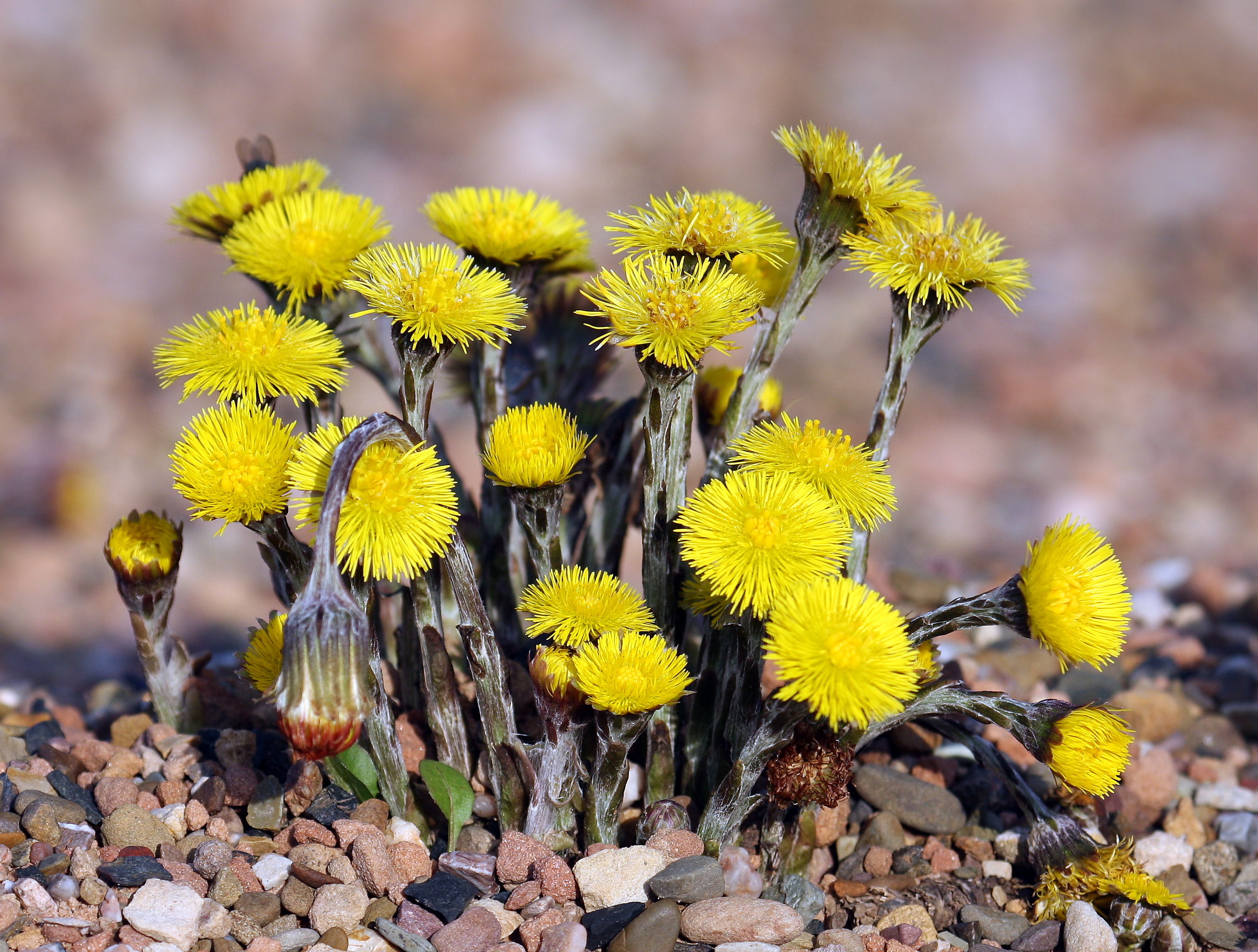
Català: Potadecavall
Čeština: Podbělléčivý
Dansk: AlmindeligFølfod
Deutsch: Huflattich
English: Coltsfoot
فارسی: پایخر
Suomi: Leskenlehti
Français : Tussilage
Hornjoserbsce: Kopytnik
Magyar: Martilapu
Italiano: Tussilagofarfara
Lietuvių: Ankstyvasisšalpusnis
Nedersaksies: Peerdehoeve
Nederlands: Kleinhoefblad
Norsk nynorsk: Hestehov
Norsk bokmål: Hestehov
Polski: Podbiałpospolity
Português: Tussilago
Русский: мать-и-мачеха
Slovenčina: Podbeľliečivý
Српски / srpski: Подбел
Svenska: Hästhov
Українська: Підбілзвичайний |
||||
| Date | |||||
| Bun | Own work | ||||
| Author | Andreas Trepte | ||||
| Permission (Reusing this file) |
This file is licensed under the Creative Commons Attribution-Share Alike 2.5 Generic license.
|
| Camera location | | View this and other nearby images on: OpenStreetMap |
|---|
Shennaghys y choadan
Crig er daayt/am ennagh son fakin er y choadan myr v’eh ec y traa shen.
| Daayt/Am | Ingin-ordaag | Towshanyn | Ymmydeyr | Cohaggloo | |
|---|---|---|---|---|---|
| bio | 17:59, 30 Mayrnt 2008 | | 2,707 × 2,050 (2.91 MB) | Merops | |
| 17:44, 30 Mayrnt 2008 |  | 3,261 × 2,571 (4.57 MB) | Merops | ==Summary== {{Information |Description= {{de|Huflattich}} {{en|Coltsfoot}} |Source= own work |Date= 30. Mrz. 2008 |Author= [http://foto.andreas-trepte.de Andreas Trepte] |Permission={{cc-by-sa-2.5}}{{User:Merops/ImageI |
Ymmyd y choadan
Ta ny 1 duillag eiyrtyssagh kianglt rish y choadan shoh:
Global file usage
The following other wikis use this file:
- Usage on an.wikipedia.org
- Usage on ar.wikipedia.org
- Usage on arz.wikipedia.org
- Usage on ast.wikipedia.org
- Usage on az.wikipedia.org
- Usage on bat-smg.wikipedia.org
- Usage on ba.wikipedia.org
- Usage on be.wikipedia.org
- Usage on bs.wikipedia.org
- Usage on ca.wikipedia.org
- Usage on ca.wikibooks.org
- Usage on csb.wikipedia.org
- Usage on cs.wikipedia.org
- Usage on cy.wikipedia.org
- Usage on da.wikipedia.org
- Usage on de.wikipedia.org
- Usage on de.wiktionary.org
- Usage on el.wikipedia.org
- Usage on en.wikipedia.org
- Usage on en.wikiversity.org
- Usage on en.wiktionary.org
- Usage on eu.wikipedia.org
- Usage on fa.wikipedia.org
- Usage on fi.wikipedia.org
- Usage on fi.wiktionary.org
- Usage on fo.wikipedia.org
- Usage on frr.wikipedia.org
- Usage on ga.wikipedia.org
- Usage on hr.wikipedia.org
- Usage on hsb.wikipedia.org
- Usage on hu.wikipedia.org
- Usage on hu.wikibooks.org
- Usage on hy.wikipedia.org
- Usage on ia.wikipedia.org
- Usage on inh.wikipedia.org
- Usage on io.wiktionary.org
View more global usage of this file.