
Coadan:La2-demis-ireland.png
Size of this preview: 462 × 600 pixels. Other resolutions: 185 × 240 pixels | 621 × 806 pixels.
Jeeskeaylley ymlane (621 × 806 pixelyn, mooadys y choadan: 108 KB, sorçh MIME: image/png)
Giare-choontey
| Coontey |
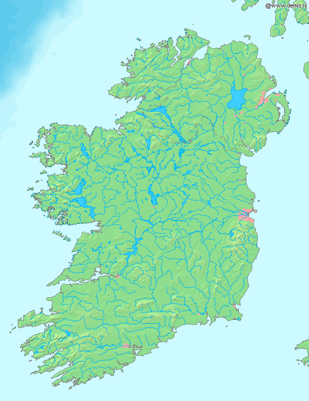
English: Map of Ireland.
Bounding box West -10.8°, South 51.3°, East -5.1°, North 55.7°. Center at 53°30′00″N 7°57′00″W / 53.50000°N 7.95000°W. |
| Date | |
| Bun | Demis map server |
| Author | Demis map server |
This image is in the public domain because it came from the site https://www.demis.nl/products/web-map-server/examples/ and was released by the copyright holder. Permission is granted to copy, distribute and/or modify this map since it is based on free of copyright images from: www.demis.nl. See also approval email on de.wp and its clarification.
|
| This work has been released into the public domain by its copyright holder, www.demis.nl. This applies worldwide. In some countries this may not be legally possible; if so: www.demis.nl grants anyone the right to use this work for any purpose, without any conditions, unless such conditions are required by law.
|
Shennaghys y choadan
Crig er daayt/am ennagh son fakin er y choadan myr v’eh ec y traa shen.
| Daayt/Am | Ingin-ordaag | Towshanyn | Ymmydeyr | Cohaggloo | |
|---|---|---|---|---|---|
| bio | 13:30, 2 Mean Fouyir 2005 | | 621 × 806 (108 KB) | LA2 | Map of Ireland. Bounding box West -10.8°, South 51.3°, East -5.1°, North 55.7°. {{demis-pd}} category:maps of Ireland |
Ymmyd y choadan
Ta ny 4 duillagyn eiyrtyssagh kianglt rish y choadan shoh:
Global file usage
The following other wikis use this file:
- Usage on la.wikipedia.org