
Coadan:Palau location map.svg

Jeeskeaylley ymlane (coadan SVG, 520 × 709 pixelyn dy ennymagh, mooadys y choadan: 30 KB)
Giare-choontey
| Coontey |
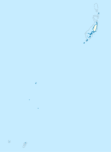
Deutsch: Positionskarte von Palau
Quadratische Plattkarte. Geographische Begrenzung der Karte:
English: Location map of Palau
Equirectangular projection. Geographic limits of the map:
|
|
| Date | ||
| Bun |
Own work, using
|
|
| Author | NordNordWest | |
| Permission (Reusing this file) |
This file is licensed under the Creative Commons Attribution-Share Alike 3.0 Germany license.
 This file is licensed under the Creative Commons Attribution-Share Alike 3.0 Germany license.
|
|
| Other versions |
|


_location_map.svg)

|
This map has been made or improved in the German Kartenwerkstatt (Map Lab). You can propose maps to improve as well.
|
Shennaghys y choadan
Crig er daayt/am ennagh son fakin er y choadan myr v’eh ec y traa shen.
| Daayt/Am | Ingin-ordaag | Towshanyn | Ymmydeyr | Cohaggloo | |
|---|---|---|---|---|---|
| bio | 16:02, 14 Mee Houney 2009 | | 520 × 709 (30 KB) | NordNordWest | == {{int:filedesc}} == {{Information |Description= {{de|Positionskarte von Palau}} Quadratische Plattkarte. Geographische Begrenzung der Karte: * N: 8.6° N * S: 2.6° N * W: 130.8° O * O: 135.2° O {{en|Location map of Palau} |
Ymmyd y choadan
Ta ny 1 duillag eiyrtyssagh kianglt rish y choadan shoh:
Global file usage
The following other wikis use this file:
- Usage on af.wikipedia.org
- Usage on an.wikipedia.org
- Usage on ar.wikipedia.org
- Usage on ast.wikipedia.org
- Usage on az.wikipedia.org
- Usage on bcl.wikipedia.org
- Usage on be-tarask.wikipedia.org
- Usage on be.wikipedia.org
- Usage on bg.wikipedia.org
- Usage on bn.wikipedia.org
- Usage on bs.wikipedia.org
- Usage on ceb.wikipedia.org
View more global usage of this file.