
Coadan:USA Massachusetts location map.svg

Size of this PNG preview of this SVG file: 800 × 546 pixels. Other resolutions: 320 × 219 pixels | 640 × 437 pixels | 1,024 × 699 pixels | 1,280 × 874 pixels | 2,560 × 1,748 pixels | 1,050 × 717 pixels.
Jeeskeaylley ymlane (coadan SVG, 1,050 × 717 pixelyn dy ennymagh, mooadys y choadan: 244 KB)
Giare-choontey
| Coontey |
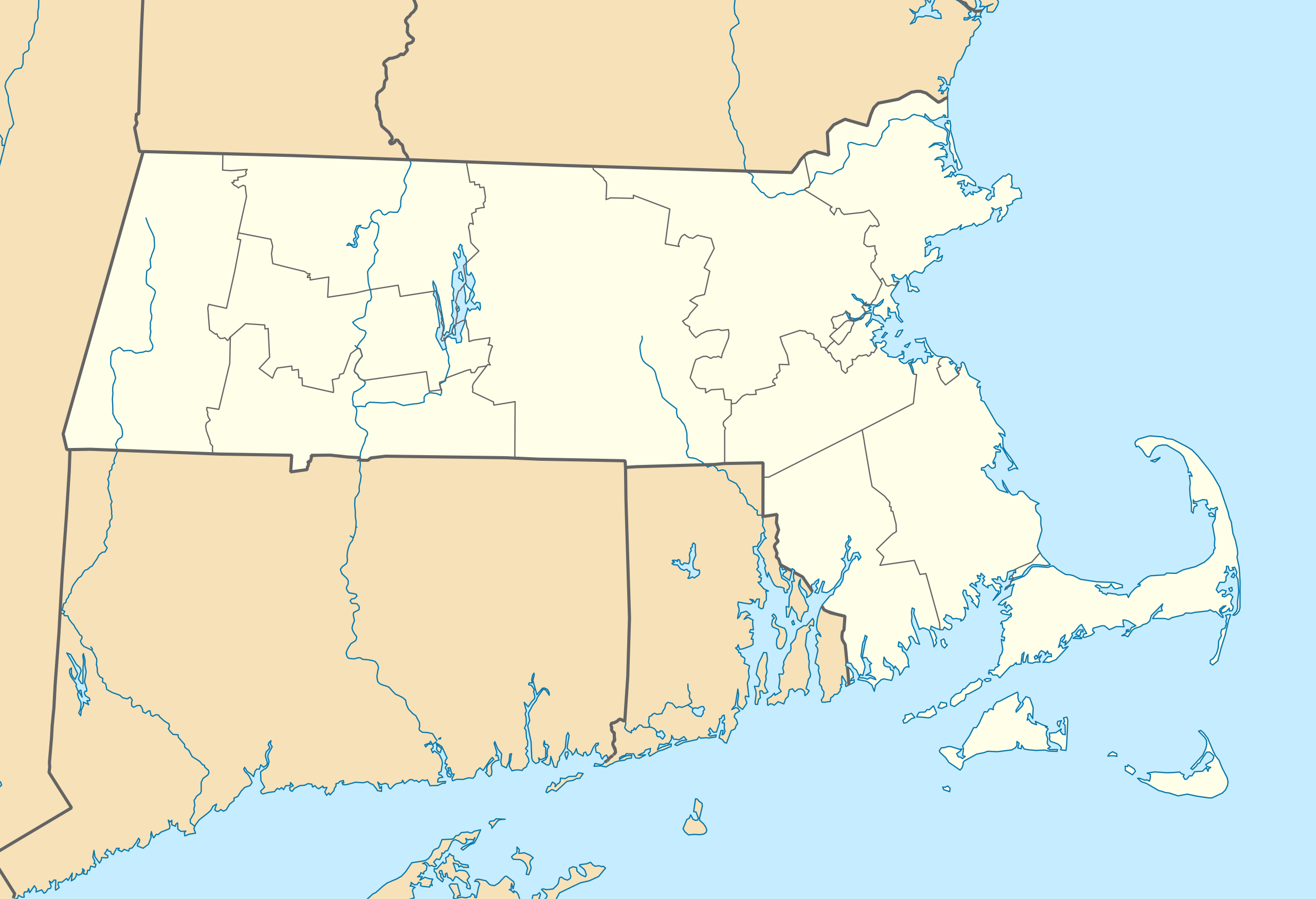
Quadratische Plattkarte, N-S-Streckung 130.0 %. Geographische Begrenzung der Karte:
Equirectangular projection, N/S stretching 130.0 %. Geographic limits of the map:
|
||
| Date | |||
| Bun | Own work | ||
| Author | Alexrk2 | ||
| Other versions |
Derivative works of this file: |
||
| SVG genesis |
|


Kieddagh:
I, the copyright holder of this work, hereby publish it under the following licenses:

|
Permission is granted to copy, distribute and/or modify this document under the terms of the GNU Free Documentation License, Version 1.2 or any later version published by the Free Software Foundation; with no Invariant Sections, no Front-Cover Texts, and no Back-Cover Texts. A copy of the license is included in the section entitled GNU Free Documentation License. |
This file is licensed under the Creative Commons Attribution 3.0 Unported license.
- You are free:
- to share – to copy, distribute and transmit the work
- to remix – to adapt the work
- Under the following conditions:
- attribution – You must give appropriate credit, provide a link to the license, and indicate if changes were made. You may do so in any reasonable manner, but not in any way that suggests the licensor endorses you or your use.
You may select the license of your choice.
Shennaghys y choadan
Crig er daayt/am ennagh son fakin er y choadan myr v’eh ec y traa shen.
| Daayt/Am | Ingin-ordaag | Towshanyn | Ymmydeyr | Cohaggloo | |
|---|---|---|---|---|---|
| bio | 11:13, 5 Jerrey Souree 2009 | | 1,050 × 717 (244 KB) | Alexrk2 | resize |
| 19:38, 25 Mean Souree 2009 |  | 800 × 546 (237 KB) | Alexrk2 | == Beschreibung == {{Information |Description= {{de|Positionskarte von Massachusetts, USA}} Quadratische Plattkarte, N-S-Streckung 130.0 %. Geographische Begrenzung der Karte: * N: 43.1° N * S: 41.0° N * W: 73.7° W * O |
Ymmyd y choadan
Ta ny 3 duillagyn eiyrtyssagh kianglt rish y choadan shoh:
Global file usage
The following other wikis use this file:
- Usage on an.wikipedia.org
- Usage on ar.wikipedia.org
- Usage on ast.wikipedia.org
- Usage on azb.wikipedia.org
- کوئنسی، ماساچوست
- ویموث، ماساچوست
- رندولف، ماساچوست
- قرندبی ، ماساچوست
- بلیس کورنر، ماساچوست
- هلند ، ماساچوست
- لینوود، ماساچوست
- سیتانز کینقدام، ماساچوست
- کوسکاتا، ماساچوست
- نیوتون سنتر، ماساچوست
- آبرندیل، ماساچوست
- هتفیلد ، ماساچوست
- ویلبراهام ، ماساچوست
- نورت امهرست، ماساچوست
- بلچرتاون ، ماساچوست
- اسمیت میلر، ماساچوست
- گونئی امهرست ، ماساچوست
- آکتون، ماساچوست
- نونانتوم، ماساچوست
- واووینت، ماساچوست
- آندوور، ماساچوست
- آشلاند، ماساچوست
- وزساقوست کولونی
- پولپیس، ماساچوست
- شاوکمو، ماساچوست
- میلتون، ماساچوست
- Usage on az.wikipedia.org
- Usage on be-tarask.wikipedia.org
- Usage on be.wikipedia.org
View more global usage of this file.