
Coadan:France location map-Regions and departements-2015.svg

Size of this PNG preview of this SVG file: 624 × 600 pixels. Other resolutions: 250 × 240 pixels | 499 × 480 pixels | 799 × 768 pixels | 1,066 × 1,024 pixels | 2,131 × 2,048 pixels | 2,000 × 1,922 pixels.
Jeeskeaylley ymlane (coadan SVG, 2,000 × 1,922 phixel dy ennymagh, mooadys y choadan: 699 KB)
Giare-choontey
| Coontey |
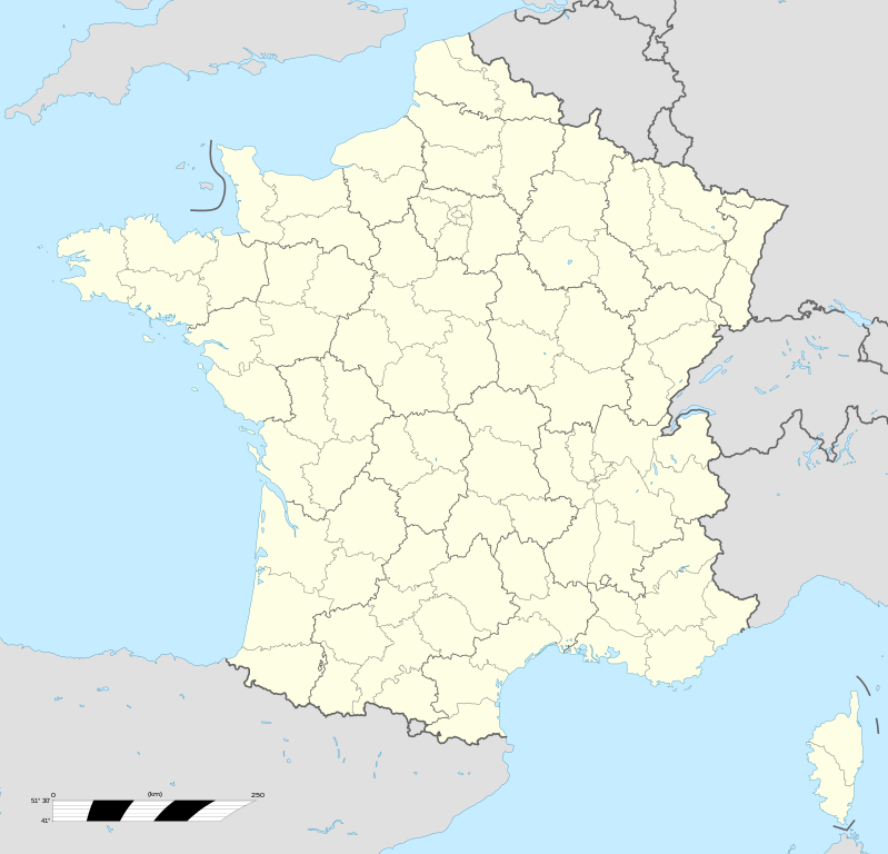
English: Blank administrative map of France for geo-location purpose, with regions and departements distinguished. Approximate scale : 1:3,000,000 Français : Carte administrative vierge de la France destinée à la géolocalisation, avec régions et départements distingués.
Échelle approximative : 1:3 000 000 Equirectangular projection, WGS84 datum
Geographic limits of the map :
|
| Date | |
| Bun |
Own work based on: France location map-Regions and departements.svg
|
| Author | Eric Gaba (Sting - fr:Sting); Ajout Métropole de Lyon: Otourly |
| Other versions |
|
| SVG genesis |


.svg)
| Object location | | View this and other nearby images on: OpenStreetMap |
|---|
Kieddagh:
I, the copyright holder of this work, hereby publish it under the following licenses:

|
Permission is granted to copy, distribute and/or modify this document under the terms of the GNU Free Documentation License, Version 1.2 or any later version published by the Free Software Foundation; with no Invariant Sections, no Front-Cover Texts, and no Back-Cover Texts. A copy of the license is included in the section entitled GNU Free Documentation License. |
This file is licensed under the Creative Commons Attribution-Share Alike 4.0 International, 3.0 Unported, 2.5 Generic, 2.0 Generic and 1.0 Generic license.
- You are free:
- to share – to copy, distribute and transmit the work
- to remix – to adapt the work
- Under the following conditions:
- attribution – You must give appropriate credit, provide a link to the license, and indicate if changes were made. You may do so in any reasonable manner, but not in any way that suggests the licensor endorses you or your use.
- share alike – If you remix, transform, or build upon the material, you must distribute your contributions under the same or compatible license as the original.
You may select the license of your choice.
Shennaghys y choadan
Crig er daayt/am ennagh son fakin er y choadan myr v’eh ec y traa shen.
| Daayt/Am | Ingin-ordaag | Towshanyn | Ymmydeyr | Cohaggloo | |
|---|---|---|---|---|---|
| bio | 13:49, 19 Jerrey Fouyir 2017 | | 2,000 × 1,922 (699 KB) | Sting | No borders over the Lake of Constance |
| 20:58, 30 Mee ny Nollick 2014 |  | 2,000 × 1,922 (700 KB) | Otourly | User created page with UploadWizard |
Ymmyd y choadan
Cha nel duillag erbee kianglt rish y choadan shoh.
Global file usage
The following other wikis use this file:
- Usage on de.wikipedia.org
- Usage on fr.wikipedia.org
- Usage on hu.wiktionary.org
- Usage on mn.wikipedia.org