
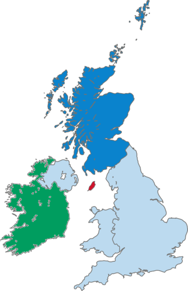
Coadan:Map of Scotland within the United Kingdom.png

Size of this preview: 387 × 600 pixels. Other resolutions: 155 × 240 pixels | 500 × 775 pixels.
Jeeskeaylley ymlane (500 × 775 pixelyn, mooadys y choadan: 99 KB, sorçh MIME: image/png)

|
File:Map of Scotland within the United Kingdom.svg is a vector version of this file. It should be used in place of this PNG file when not inferior.
File:Map of Scotland within the United Kingdom.png → File:Map of Scotland within the United Kingdom.svg
For more information, see Help:SVG. |
 |
Created by Morwen.

|
Permission is granted to copy, distribute and/or modify this document under the terms of the GNU Free Documentation License, Version 1.2 or any later version published by the Free Software Foundation; with no Invariant Sections, no Front-Cover Texts, and no Back-Cover Texts. A copy of the license is included in the section entitled GNU Free Documentation License. |
| This file is licensed under the Creative Commons Attribution-Share Alike 3.0 Unported license. | ||
| ||
| This licensing tag was added to this file as part of the GFDL licensing update. |
Shennaghys y choadan
Crig er daayt/am ennagh son fakin er y choadan myr v’eh ec y traa shen.
| Daayt/Am | Ingin-ordaag | Towshanyn | Ymmydeyr | Cohaggloo | |
|---|---|---|---|---|---|
| bio | 10:07, 16 Jerrey Geuree 2020 | | 500 × 775 (99 KB) | Kontrollstellekundl | isle of man without colour = not ireland !!! |
| 18:09, 14 Luanistyn 2005 |  | 290 × 396 (44 KB) | Wighson | Updated map to reflect Scottish (blue pantone) rather than English (royal red) colors. This shows the Hebrides. | |
| 02:44, 7 Boaldyn 2005 |  | 200 × 246 (7 KB) | Neutrality | Created by Morwen. {{GFDL}} |
Ymmyd y choadan
Cha nel duillag erbee kianglt rish y choadan shoh.
Global file usage
The following other wikis use this file:
- Usage on de.wikipedia.org
- Usage on en.wikipedia.org
- Usage on it.wikipedia.org
- Usage on lmo.wikipedia.org
- Usage on pl.wiktionary.org
- Usage on pms.wikipedia.org
- Usage on qu.wikipedia.org
- Usage on tr.wikinews.org