
Coadan:NImap-CIA.jpg

Size of this preview: 727 × 599 pixels. Other resolutions: 291 × 240 pixels | 582 × 480 pixels | 932 × 768 pixels | 1,252 × 1,032 pixels.
Jeeskeaylley ymlane (1,252 × 1,032 phixel, mooadys y choadan: 274 KB, sorçh MIME: image/jpeg)
Giare-choontey
| Coontey |
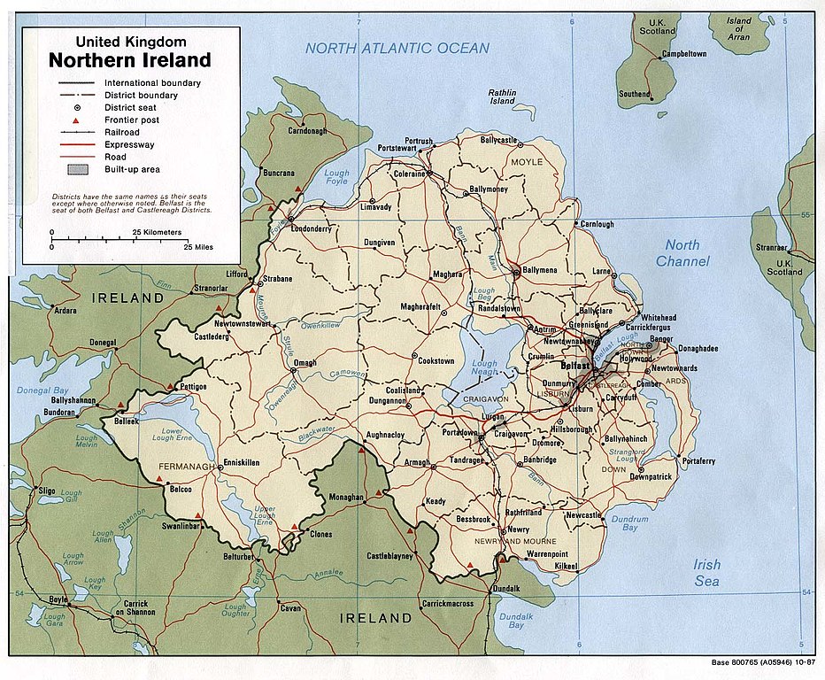
English: Map of Northern Ireland. |
| Date | |
| Bun | Northern Ireland (U.K) (Political) 1987 from Perry-Castañeda Library Map Collection: Europe Maps |
| Author | U.S. Central Intelligence Agency |
| Permission (Reusing this file) |
Public domain |
Kieddagh:
| This image is a work of a Central Intelligence Agency employee, taken or made as part of that person's official duties. As a Work of the United States Government, this image or media is in the public domain in the United States.
|

|
Shennaghys y choadan
Crig er daayt/am ennagh son fakin er y choadan myr v’eh ec y traa shen.
| Daayt/Am | Ingin-ordaag | Towshanyn | Ymmydeyr | Cohaggloo | |
|---|---|---|---|---|---|
| bio | 09:06, 11 Jerrey Geuree 2005 | | 1,252 × 1,032 (274 KB) | Hoshie | CIA map of Northern Ireland, from [http://www.lib.utexas.edu/maps/europe/northern_ireland_pol87.jpg]. |
Ymmyd y choadan
Cha nel duillag erbee kianglt rish y choadan shoh.
Global file usage
The following other wikis use this file:
- Usage on als.wikipedia.org
- Usage on bn.wikipedia.org
- Usage on ca.wikipedia.org
- Usage on cs.wikipedia.org
- Usage on cv.wikipedia.org
- Usage on de.wikipedia.org
- Usage on dsb.wikipedia.org
- Usage on el.wikipedia.org
- Usage on en.wikipedia.org
- Usage on es.wikipedia.org
- Usage on fa.wikipedia.org
- Usage on fi.wikipedia.org
- Usage on frr.wikipedia.org
- Usage on fr.wikipedia.org
- Usage on gu.wikipedia.org
- Usage on he.wikipedia.org
- Usage on id.wikipedia.org
- Usage on is.wikipedia.org
- Usage on it.wikipedia.org
- Usage on it.wikinews.org
- Usage on ja.wikipedia.org
- Usage on kn.wikipedia.org
- Usage on lfn.wikipedia.org
- Usage on mr.wikipedia.org
- Usage on nl.wikipedia.org
- Usage on os.wikipedia.org
- Usage on pt.wikipedia.org
- Usage on qu.wikipedia.org
- Usage on rmy.wikipedia.org
- Usage on sco.wikipedia.org
- Usage on sh.wikipedia.org
- Usage on simple.wikipedia.org
- Usage on si.wikipedia.org
View more global usage of this file.