
Coadan:Netherlands location map 1944.svg

Size of this PNG preview of this SVG file: 532 × 600 pixels. Other resolutions: 213 × 240 pixels | 426 × 480 pixels | 681 × 768 pixels | 908 × 1,024 pixels | 1,817 × 2,048 pixels | 888 × 1,001 pixels.
Jeeskeaylley ymlane (coadan SVG, 888 × 1,001 pixel dy ennymagh, mooadys y choadan: 1.32 MB)
Giare-choontey
| Coontey |
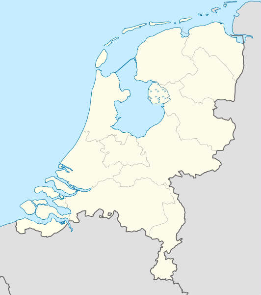
Deutsch: Positionskarte der Niederlande für das Jahr 1944
Quadratische Plattkarte, N-S-Streckung 160 %. Geographische Begrenzung der Karte:
English: Location map of the Netherlands as of 1944
Equirectangular projection, N/S stretching 160 %. Geographic limits of the map:
|
| Date | |
| Bun |
Own work This W3C-unspecified vector image was created with Adobe Illustrator. This vector image includes elements that have been taken or adapted from this file: |
| Author | Lencer |

|
This map has been made or improved in the German Kartenwerkstatt (Map Lab). You can propose maps to improve as well.
|
Kieddagh:
I, the copyright holder of this work, hereby publish it under the following licenses:

|
Permission is granted to copy, distribute and/or modify this document under the terms of the GNU Free Documentation License, Version 1.2 or any later version published by the Free Software Foundation; with no Invariant Sections, no Front-Cover Texts, and no Back-Cover Texts. A copy of the license is included in the section entitled GNU Free Documentation License. |
This file is licensed under the Creative Commons Attribution-Share Alike 3.0 Unported license.
- You are free:
- to share – to copy, distribute and transmit the work
- to remix – to adapt the work
- Under the following conditions:
- attribution – You must give appropriate credit, provide a link to the license, and indicate if changes were made. You may do so in any reasonable manner, but not in any way that suggests the licensor endorses you or your use.
- share alike – If you remix, transform, or build upon the material, you must distribute your contributions under the same or compatible license as the original.
You may select the license of your choice.
Shennaghys y choadan
Crig er daayt/am ennagh son fakin er y choadan myr v’eh ec y traa shen.
| Daayt/Am | Ingin-ordaag | Towshanyn | Ymmydeyr | Cohaggloo | |
|---|---|---|---|---|---|
| bio | 09:34, 9 Jerrey Souree 2011 | | 888 × 1,001 (1.32 MB) | TUBS | Lauwerszee was keeen maar, Europoort nok niet; Sloe was niet afsluiten, Neeltje Jans en de eilanden bij Goeree es Schouwen was nog niet, Sint Philipsland was en eiland |
| 17:52, 6 Jerrey Souree 2011 |  | 888 × 1,001 (281 KB) | TUBS | corr | |
| 14:04, 6 Jerrey Souree 2011 |  | 888 × 1,001 (281 KB) | TUBS | corr | |
| 13:59, 6 Jerrey Souree 2011 |  | 888 × 1,001 (281 KB) | TUBS | == {{int:filedesc}} == {{Information |Description= {{de|Positionskarte der Niederlande für das Jahr 1944}} Quadratische Plattkarte, N-S-Streckung 160 %. Geographische Begrenzung der Karte: * N: 53.7° N * S: 50.6° N * W: 3.1° |
Ymmyd y choadan
Cha nel duillag erbee kianglt rish y choadan shoh.
Global file usage
The following other wikis use this file:
- Usage on als.wikipedia.org
- Usage on ar.wikipedia.org
- Usage on ceb.wikipedia.org
- Usage on ckb.wikipedia.org
- Usage on de.wikipedia.org
- Usage on es.wikipedia.org
- Usage on frr.wikipedia.org
- Usage on ka.wikipedia.org
- Usage on mk.wikipedia.org
- Usage on ml.wikipedia.org
- Usage on mn.wikipedia.org
- Usage on pl.wikipedia.org
- Usage on pl.wikibooks.org
- Usage on sco.wikipedia.org
- Usage on sl.wikipedia.org
- Usage on sq.wikipedia.org
- Usage on tg.wikipedia.org
- Usage on war.wikipedia.org
- Usage on xmf.wikipedia.org
- Usage on zh.wikipedia.org