
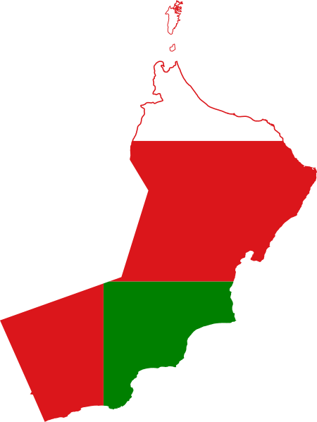
Coadan:Flag map of Oman.svg

Size of this PNG preview of this SVG file: 450 × 599 pixels. Other resolutions: 180 × 240 pixels | 360 × 480 pixels | 576 × 768 pixels | 769 × 1,024 pixels | 1,538 × 2,048 pixels | 925 × 1,232 pixels.
Jeeskeaylley ymlane (coadan SVG, 925 × 1,232 phixel dy ennymagh, mooadys y choadan: 41 KB)
| Coontey | Flag map of Oman |
| Date | (UTC) |
| Bun | |
| Author |
|
This file is licensed under the Creative Commons Attribution-Share Alike 3.0 Unported license.
- You are free:
- to share – to copy, distribute and transmit the work
- to remix – to adapt the work
- Under the following conditions:
- attribution – You must give appropriate credit, provide a link to the license, and indicate if changes were made. You may do so in any reasonable manner, but not in any way that suggests the licensor endorses you or your use.
- share alike – If you remix, transform, or build upon the material, you must distribute your contributions under the same or compatible license as the original.
Uploaded with derivativeFX
Shennaghys y choadan
Crig er daayt/am ennagh son fakin er y choadan myr v’eh ec y traa shen.
| Daayt/Am | Ingin-ordaag | Towshanyn | Ymmydeyr | Cohaggloo | |
|---|---|---|---|---|---|
| bio | 21:59, 28 Luanistyn 2011 | | 925 × 1,232 (41 KB) | Fry1989 | {{Information |Description=Flag map of Oman |Source=*File:Oman_location_map.svg *File:Flag_of_Oman.svg |Date=2011-08-28 21:53 (UTC) |Author=*File:Oman_location_map.svg: {{U|NordNordWest}} *File:Flag_of_Oman.svg: *derivative work: |
Ymmyd y choadan
Cha nel duillag erbee kianglt rish y choadan shoh.
Global file usage
The following other wikis use this file:
- Usage on ar.wikipedia.org
- ويكيبيديا:قوالب/بذور
- ويكيبيديا:قوالب/بذور/جدول بذرة 1
- الداخلية (محافظة)
- الحلانيات (جزر)
- جبال الكور
- التقسيم الإداري في سلطنة عمان
- عين حمران
- الحجر الغربي
- قالب:بذرة جغرافيا عمان
- مغيوث
- حارة بني وائل
- جبل الحوراء
- قرية فرق
- جبل شمس
- جبل القرا
- المنترب
- جبل القمر
- جبل سمحان
- الحجر الشرقي
- جبل الروضة
- جبل حارم
- جبل مدحاء
- جنوب الشرقية (محافظة)
- إمامة عمان
- مستخدم:Adnanzoom/مساعدات
- بوابة:المغرب العربي/بوابات شقيقة
- بوابة:المغرب العربي
- جزيرة أم الغنم
- قالب:بذرة جغرافيا محافظة مسقط
- قالب:بذرة جغرافيا محافظة ظفار
- قالب:بذرة جغرافيا محافظة مسندم
- قالب:بذرة جغرافيا محافظة البريمي
- قالب:بذرة جغرافيا محافظة الداخلية
- قالب:بذرة جغرافيا محافظة شمال الباطنة
- قالب:بذرة جغرافيا محافظة جنوب الباطنة
- قالب:بذرة جغرافيا محافظة جنوب الشرقية
- قالب:بذرة جغرافيا محافظة الظاهرة
- قالب:بذرة جغرافيا محافظة الوسطى
- مستخدم:JarBot/مشروع مقالات سلطنة عمان/الحباسة (مسقط)
- مستخدم:JarBot/مشروع مقالات سلطنة عمان/حي عاصم (بركاء)
- مستخدم:JarBot/مشروع مقالات سلطنة عمان/العمود (الجازر)
- مستخدم:JarBot/مشروع مقالات سلطنة عمان/الصوبیح (الجازر)
- مستخدم:JarBot/مشروع مقالات سلطنة عمان/المدیفي (نزوى)
- يتي (مسقط)
- السيفة (مسقط)
- الخيران (مسقط)
- ينكت (مسقط)
- حلحل (مسقط)
- الجصة (مسقط)
- سيفة الشيخ (مسقط)
View more global usage of this file.