
Coadan:Menai Strait - geograph.org.uk - 3689949.jpg
Cha nel jeeskeaylley ny smoo ry-gheddyn.
Menai_Strait_-_geograph.org.uk_-_3689949.jpg (800 × 530 pixelyn, mooadys y choadan: 419 KB, sorçh MIME: image/jpeg)
Giare-choontey
| Coontey |
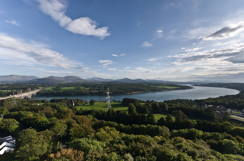
English: Menai Strait |
| Depicts | clyst, Bretyn |
| Date |
|
| Bun |
Geograph Britain and Ireland |
| Author |
Ian Capper |
| Location of creation | Llanfair Pwllgwyngyll |
| Camera location | | View this and other nearby images on: OpenStreetMap |
|---|
| Object location | | View this and other nearby images on: OpenStreetMap |
|---|
Kieddagh:

|
This image was taken from the Geograph project collection. See this photograph's page on the Geograph website for the photographer's contact details. The copyright on this image is owned by Ian Capper
|
This file is licensed under the Creative Commons Attribution-Share Alike 2.0 Generic license.
Attribution: Menai Strait by Ian Capper
- You are free:
- to share – to copy, distribute and transmit the work
- to remix – to adapt the work
- Under the following conditions:
- attribution – You must give appropriate credit, provide a link to the license, and indicate if changes were made. You may do so in any reasonable manner, but not in any way that suggests the licensor endorses you or your use.
- share alike – If you remix, transform, or build upon the material, you must distribute your contributions under the same or compatible license as the original.
Shennaghys y choadan
Crig er daayt/am ennagh son fakin er y choadan myr v’eh ec y traa shen.
| Daayt/Am | Ingin-ordaag | Towshanyn | Ymmydeyr | Cohaggloo | |
|---|---|---|---|---|---|
| bio | 13:10, 14 Luanistyn 2022 | | 800 × 530 (419 KB) | GeographBot | Uploading geograph.org.uk image from https://www.geograph.org.uk/photo/3689949 |
Ymmyd y choadan
Ta ny 1 duillag eiyrtyssagh kianglt rish y choadan shoh:
Global file usage
The following other wikis use this file:
- Usage on en.wikipedia.org